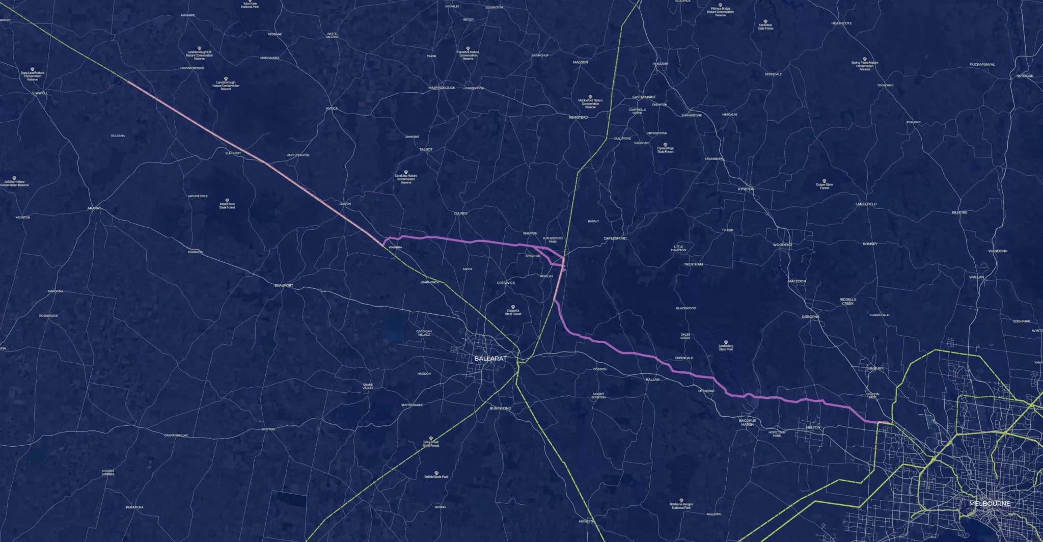
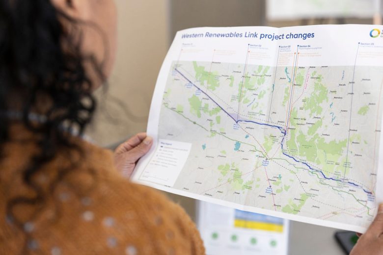
The proposed route has been identified based on a range of technical investigations, landholder, community and stakeholder input, constructibility and technical aspects.
The map features a selection of layers including the proposed route, Registered Aboriginal Party and local government areas, and community pinpoint data.