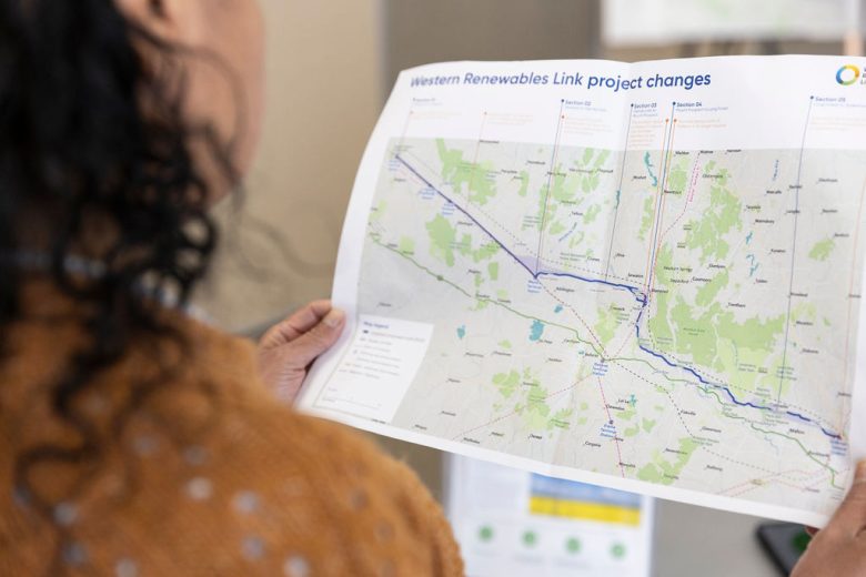
FAQs
Search Results
Landholders
Will aerial surveys be used?
To reduce the number of times we need to access private property we:
- Use aerial imagery.
- Undertake surveys on adjacent and/or representative public land.
- Source survey results/data from other neighbouring projects or land.
We acknowledge that aerial surveys using helicopters can cause disturbance to people, animals and farming operations. Where we have your details, we will advise you before we undertake an aerial survey over your property so you can make any necessary arrangements for your operations and livestock. To ensure you are included in the aerial survey notifications, you can provide your phone number and/or email address to info@westernrenewableslink.com.au. Land and aerial surveys and investigations in public areas are also listed on our website's Upcoming field works section on our News & Events page.
All aerial surveys are undertaken in accordance with Civil Aviation Safety Authority regulations. The helicopter surveys are generally undertaken at no lower than 1,000 feet over built-up areas and 500 feet above other areas. When flying between survey areas, the helicopter will fly at an appropriate height to minimise disruption.
Refer to the Landholder Guide: Land access for field surveys and investigations on the project website for more information about these studies.